
Tracing a Southold Street Directory
Southold has no single public roster for everyone on a road. The practical street directory method joins records that answer different questions. The Southold BAS tax search can identify a parcel, owner, tax mailing address, and property location. The town and county maps then place that parcel among nearby lots. The Suffolk County Clerk kiosk follows recorded parties and instruments. Each result needs its own label, because a tax owner, a deed party, and a registered voter are not interchangeable descriptions of who is present at an address.
- Enter one known address or tax-map field in BAS. Record the situs address, owner name, mailing address, and parcel number separately.
- Open the same parcel in the Southold or Suffolk GIS viewer. Check the lot outline, adjoining parcels, zoning, and the displayed parcel identifier.
- Use the tax-map identifier or legal description in the County Clerk search. Note the deed's grantor, grantee, liber, page, document type, and received date.
- For a particular person, use the state voter lookup with the required identifying information. A street-wide voter view follows the Board of Elections route, not the public lookup screen.
- For an earlier household question, compare telephone directories, newspapers, census, and historical collections with the parcel and hamlet name.
The output is a labeled address file, not a declaration that every name belongs to the same household. For a single person after the address trail is clear, use the more focused Southold resident lookup route.
Southold Street Searches in BAS
The Tax Receiver's BAS form is the first narrow search for a known Southold address. It accepts Bill #, Tax Map #, Property Address, and Owner Name. All are optional, but its instructions call for one field at a time. Omit a street suffix when an address does not return a match. For an owner search, use a last name rather than a full name. Those small choices matter on North Fork streets where the same mailing label can sit beside a different hamlet or municipal custodian.
| Southold BAS field | Input | Search practice |
|---|---|---|
| Bill # | Text | Use a known bill number when available. |
| Tax Map # | Text | Use a section-block-lot identifier such as 123.-45-6. |
| Property Address | Text | Enter the known house and street, omitting the suffix if needed. |
| Owner Name | Text | Use the last name only. |
| Search | Control | Run one field at a time before trying another route. |
A BAS entry can return useful public assessment facts, including owner and mailing information, property location, class, values, exemptions, account number, and deed book and page references. It is not a complete street directory of people. A tax mailing address may belong to an absentee owner, a trust contact, a post-office box, or an address outside Southold.
Southold Street Parcel Maps
Southold Planning's parcel-map entry point leads to the interactive parcel and tax-map resources used to locate a known address or tax parcel. The map adds zoning and parcel-size context that a tax search cannot show. It is most useful after BAS produces a property location or when a street search needs a visual check against the surrounding parcels.
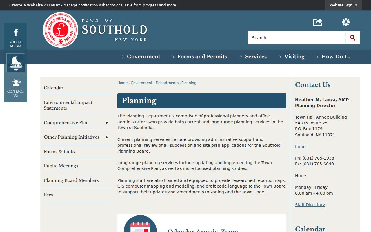
The Planning page is a starting point for parcel context. It does not convert a map pin into a resident list, and it does not settle a question about occupancy.
For county-wide layers, the Suffolk County GIS portal offers parcel polygons, zoning and district layers, aerial imagery, selection, and measurement tools. Select a parcel and retain its PARCELID. The county describes its maps and data as general reference material, not survey-quality proof. Aerial imagery reaches back to 1947 in the online viewer, while older material has separate archive access.
Suffolk County's GIS service is the source for the county viewer and related open-data tools.
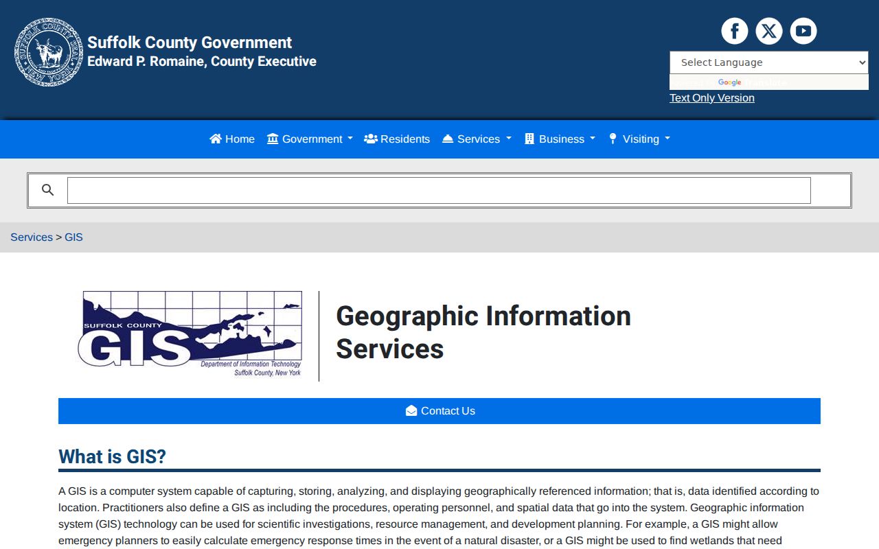
Use the viewer to understand parcel relationships and local layers, then return to an official tax or recorded-land source for ownership evidence.
Note: Parcel geometry helps connect a street to a legal identifier, but a public map is not proof of a surveyed boundary.
Southold Street Records by Address
Address-keyed records in Southold each have a narrow role. Assessment data supplies a current property snapshot. Mapping tools explain location and parcel context. Recorded instruments establish a filing trail. The Planning archive can reveal a public proposal tied to a tax map. Building and Code offices are the fallback for a defined permit or case file because no verified public searchable permit-history index was located. Combining these sources preserves the uncertainty that a street search requires.
| Address record | Custodian | Evidence provided | Access path |
|---|---|---|---|
| Assessment roll and parcel card | Southold Assessor | Owner, mailing address, situs, values, exemptions, deed reference | BAS, roll, office, or FOIL |
| Parcel map | Southold Planning and Suffolk GIS | Parcel geometry, zoning, districts, aerial context | Public viewer, reference only |
| Recorded deed | Suffolk County Clerk | Grantor, grantee, legal description, liber/page, recorded date | Free index; image, copy, or counter access |
| Planning file | Southold Planning | Project, applicant, tax map, and board trail | Laserfiche custom-field search |
| Permit or code file | Building and Code Enforcement | Releasable work, inspection, or violation evidence | Defined address request or FOIL |
| Voter record or list | NYS and Suffolk Board of Elections | Registration information where law and process permit | Individual lookup, supervised list, or request route |
The transfer point between systems is normally the tax-map identifier. Suffolk's tax-map form is commonly section-block-lot, such as XXX.-XX-XX. Preserve punctuation when moving from BAS to a Planning file or Clerk search. For a broad street, the public tools may require multiple parcel searches rather than a single results page.
Southold Street Parcel Terms
Different records can use different address labels for the same land. Record the terms before comparing names, maps, or documents. That prevents an owner's delivery address from being mistaken for the address of the structure, and it makes a deed search more reliable when the street label has changed.
- Parcel
- A defined piece of land tracked by the assessment and tax-map system.
- Situs address
- The property location. It identifies where the land or structure sits, not necessarily an owner's mailing location.
- Tax-map number
- The section-block-lot identifier used to connect assessment, planning, and recorded-land searches.
- Plat
- A recorded map that can show how lots, blocks, and subdivisions relate to a legal description.
- Criss-cross directory
- An address-ordered directory section used with a name-ordered directory to study an earlier street snapshot.
Southold postal labels add another reason to retain the legal identifier. The town includes ten hamlets, Fishers Island, and the incorporated Village of Greenport. A Greenport mailing address can involve separate village records, and Fishers Island has its own postal pattern. The parcel and the office with custody may be steadier than a familiar place name.
Southold Street Deed Chains
The Clerk's free kiosk is the recorded-land step in a Southold street directory trail. Use its address and tax-map helper to turn a house number, street name, and ZIP into a Property Tax Map ID. The response can show group numbers, names, address lines, district, section, block, and lot. Then use the tax-map route or a name search to find deed entries. A result exposes the liber, page, document type, grantee, grantor, date received, notations, certified-copy indicator, and document-view control.
Recorded and imaged land material is generally online from 1987 forward, according to the County Clerk. The index is free, but general web image access is gated behind subscription or individual copy access. Older books and historic collections require the Clerk's counter, books, microfilm, or historical holdings. A valid chain works backward: take the current grantee, find the prior grantor as an earlier grantee, and compare legal description, lot, and map information at every transfer.
The Suffolk tax-parcel FeatureServer documents the public parcel polygon layer and its PARCELID field.
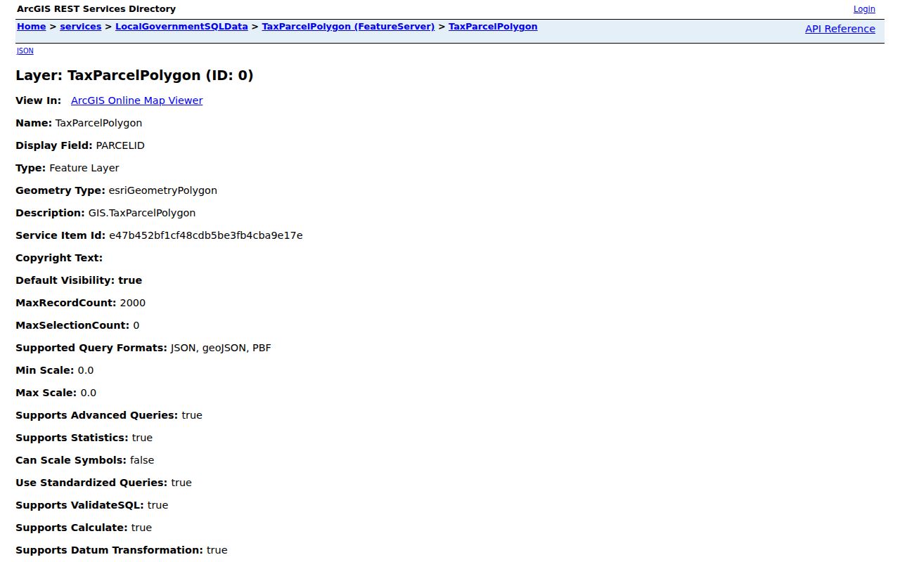
The FeatureServer is useful for checking a map identifier, but the assessment roll and recorded instrument remain the authoritative sources for their respective facts.
Note: A mortgage, satisfaction, lien, or lis pendens can add context, but it does not by itself establish who occupied the property.
Southold Street Planning Files
Southold's development-proposal instructions document a useful address-adjacent search. In Town Records Weblink/Laserfiche, choose Search, then Customize Field, then Field, then Tax Map Number. Enter the number in the XXX.-XX-XX form. An asterisk can help find a changed tax-map identifier. The result may identify a public proposal, board date, narrative, or applicant connected to a parcel.
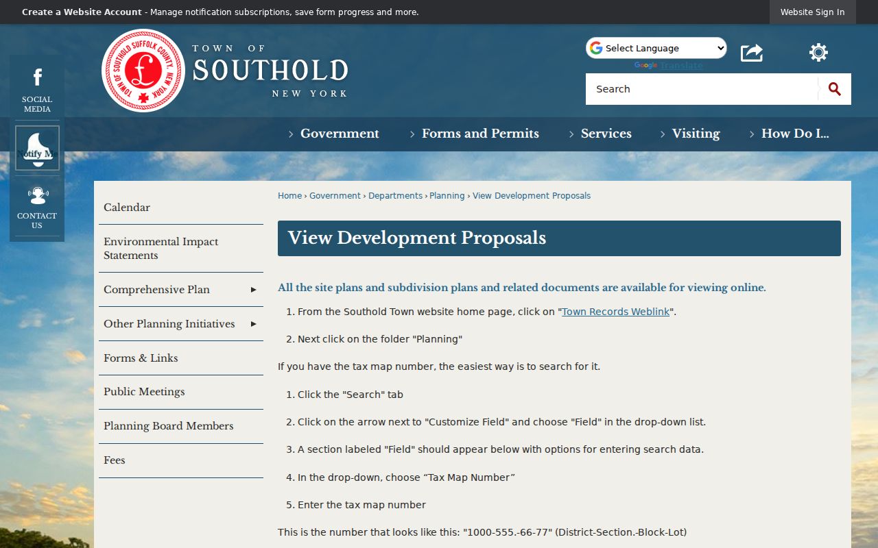
The Laserfiche instructions show the tax-map search path. A planning applicant is evidence of involvement with a proposal, not proof that the person lived at the location.
For a permit or code question, start with a defined address, tax map, permit type, and date range. Southold's public sources list Building and Code offices but did not yield a verified searchable permit index. A focused request or FOIL inquiry is therefore the documented fallback. Under New York FOIL, Public Officers Law Article 6, agencies respond in writing within five business days by granting, denying, explaining non-possession, or acknowledging the request with an approximate date.
Southold Street Directory History
Historical Southold addresses rarely behave like modern search fields. The verified 1868/69 Curtin directory records a surname, given name or initials, occupation, and place, not a uniform house number. Long Island telephone directories survive for 1908 through 1914, and the New York State Library lists West Suffolk telephone books for 1932, 1937/38, and 1940/41. These sources can pair a name with a locality, telephone, or address clue, but each is a dated snapshot.
When an old street query fails, compare the tax-map legal description, parcel lineage, old telephone locality, census enumeration place, nearby parcels, and hamlet name. No authoritative Southold street-renumbering or E911 readdressing schedule was located, so a missing modern street string should not be treated as a negative result. The historical collections themselves belong in the Southold Directory Book, where the years and access routes are kept together.
Southold Street Voter Records
The NYS voter lookup is for a specific voter, not a public street directory. It asks for name, date of birth, county, and address or ZIP information, and it requires cookies and JavaScript. Choose Suffolk County for a Southold address. A public street-wide list does not appear on that screen, so it should not be scraped or treated as a neighborhood roster.
Election Law §3-220 makes registration records public under supervision while withholding driver's-license, non-driver ID, Social Security, and protected information. Section 5-602 provides for supervised inspection and publication of registration lists by election district before a general election. A fuller file follows the Board of Elections request process, including its elections-purpose statement and prescribed format. Protected addresses and Address Confidentiality Program records do not support an every-door assumption.
Southold Street Directory Limits
A Southold street directory can show a public property trail, but it cannot establish every person at an address. Assessment records do not enumerate every household member. A tax owner may be a trust, corporation, estate, absentee owner, or seasonal owner. A voter record reflects registration status, not physical presence on the date searched. DMV address data, utility customer lists, private delivery data, and private association rosters are not public sources for this purpose.
Use dates and labels whenever an address produces several public names. Keep recorded ownership, planning participation, voter registration, historical directory evidence, and cemetery or newspaper material distinct. That basic separation is especially important when Southold's hamlet names, postal labels, and town or village custody do not line up cleanly.