
Southold Neighbors by Parcel
A Southold neighbor search has several distinct records, each with a narrow purpose. The parcel map shows the physical block. BAS and the assessment roll identify an owner and the mailing and situs fields attached to one parcel. The County Clerk index documents recorded land instruments. Election information has a separate, limited access route. Civic organizations can provide public contact points and local context, not a household roster. Treat each nearby parcel as its own record rather than assuming a whole block shares one result.
| Source | What it shows about a block | Access |
|---|---|---|
| Southold parcel map and Suffolk GIS | Parcel polygons, boundaries, zoning, districts, aerial context | Public viewers, for general reference |
| Southold BAS and assessment roll | Owner, mailing field, situs, values, and parcel attributes | Search each parcel separately |
| Suffolk County Clerk index | Recorded ownership instruments, parties, dates, and liber/page | Free index; images or copies use separate routes |
| Election district records | Registered names and residence fields where law and procedure permit | Supervised inspection or authorized request route |
| Southold civic organizations | Public contacts, issue forums, and community referrals | Town directory and organization contacts |
Ownership, mailing location, and physical situs prove different things. A tax-roll owner can be an individual, trust, or other entity, while the mailing field can be outside Southold. Neither one is a complete account of everyone connected with the address.
Suffolk Real Property Tax Service Agency identifies the county authority that creates and maintains tax maps.
The official tax-map layer supplies a parcel key, which can then be checked against the assessment and recorded-land evidence.
Southold Parcel Layers for Neighbors
Open the known address in the Southold Planning parcel map or the Suffolk GIS viewer, then select the parcel polygon. The map helps show the adjacent polygons, visible boundaries, zoning, districts, protected-land context, aerial imagery, and measurement tools. Read the displayed PARCELID or tax-map identifier and preserve it with the address. Suffolk describes its map data as general reference information, not survey-accurate proof of a boundary.
Layers can explain an apparent gap or unusual boundary. Southold’s local map resources include zoning, tax-parcel inquiry, hamlet-center, protected-land, historic-resource, and sewer-shed maps. Suffolk GIS adds aerial, storm-surge, shelter, and voter-information layers. Such layers describe location and administrative context. They do not identify a person at a property.
Suffolk Cartography and GIS provides the county’s parcel, aerial, and map-access background.
Use the selected parcel’s identifier to move from the map view to a parcel-specific official record, keeping the map’s reference-quality limit in mind.
Southold Neighbor Parcel Method
The practical route goes from one Southold address to each touching or nearby parcel, then to records for each parcel. This method avoids turning a map into a claimed household list. Southold Planning and Suffolk GIS are the geographic starting points; BAS and the Clerk add property and recorded-instrument information. Keep a separate line for every parcel, with its PARCELID, situs, owner field, mailing field, legal description, and dated document references.
- Find the known address on the Southold parcel map or Suffolk GIS viewer and select its polygon.
- Identify each adjacent polygon and write down its PARCELID or tax-map number before moving to the next one.
- Search each identifier in Southold BAS to compare the owner, mailing field, situs, and property details.
- Use the parcel or owner information in the Suffolk County Clerk kiosk to check deed parties, recording dates, and legal descriptions.
- Mark uncertainty instead of merging parcels when a subdivision, title change, or mismatched legal description appears.
For a complete named-street sequence, use the Southold Street Directory. The block method stays focused on the parcels directly around one address.
Southold Neighbors and Election Lists
New York’s public voter lookup is for an individual search with name, date of birth, county, and address or ZIP information. It is not a street-wide roster. Election Law sections 3-220 and 5-602 govern public registration records, and identifiers such as Social Security and license information are withheld. Before a general election, registration lists may be available for supervised public inspection or publication by election district, with the statutory markings and limits.
A full voter-data request requires the New York State Board of Elections process, including an elections-purpose statement and the required comma-delimited file format. The Suffolk Board of Elections also provides a route for a voter registration-card copy through a signed request or in-person request. Do not scrape the individual lookup or republish information from a lawful inspection. Protected voter addresses and Address Confidentiality Program records break any assumption that every nearby address will appear.
Suffolk County Board of Elections FAQ is the county source for the voter-card request route and current local information.
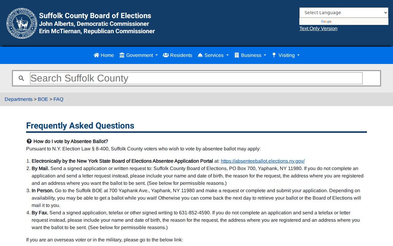
Election material is best handled as controlled, individual or election-district evidence, not as a general-purpose neighbor directory.
Southold Planning Files Nearby
Planning records can add a public, dated context to an adjacent parcel. Southold’s Town Records Weblink/Laserfiche route directs a searcher to choose Search, Customize Field, Field, then Tax Map Number and enter the identifier in the `XXX.-XX-XX` pattern. Asterisks can help locate changed tax-map numbers. The resulting material may include development proposals, planning narratives, subdivisions, and board records tied to a parcel.
A proposal or applicant should not be treated as a current personal-address statement. It is evidence of a dated planning matter. For a specific construction, inspection, or code file, Building and Code Enforcement is the documented fallback because the research found no verified public searchable Southold permit-history index. A narrow FOIL request should name the address, approximate date, and exact public file needed.
Suffolk County Clerk HOWL is a separate, free property-fraud alert for a homeowner who wants notice when a deed or land record is filed.
HOWL is an alert service for enrolled property, not a lookup tool or a substitute for examining the Clerk’s recorded index.
Southold Civic Groups and Neighbors
Southold’s public resource directory and the Town’s North Fork Civics material provide a useful community layer. Orient, Cutchogue, East Marion, New Suffolk, and Mattituck-Laurel civic groups are named in the Town’s archived notice. The directory also lists East Marion Community Association, Fishers Island Community Board, and Mattituck Laurel Civic Association. These organizations are forums, volunteer connectors, or public contacts. No public household or member directory was located for them.
| Organization or area | Public contact context | Roster status |
|---|---|---|
| Orient Civic Association | Named in the Town’s North Fork Civics notice | Public membership list not located |
| Cutchogue Civic Association | Named in the Town’s North Fork Civics notice | Public membership list not located |
| East Marion Community Association | Town resource directory and civics material | Public roster not located |
| New Suffolk Civic Association | Named in the Town’s North Fork Civics notice | Public membership list not located |
| Mattituck-Laurel Civic Association | Town directory and civics material | Public roster not located |
| Fishers Island Community Board | Town resource-directory listing | Community contact, not a resident roster |
Southold’s public community directory is the appropriate starting point for organization contacts, along with libraries and fire departments by hamlet.
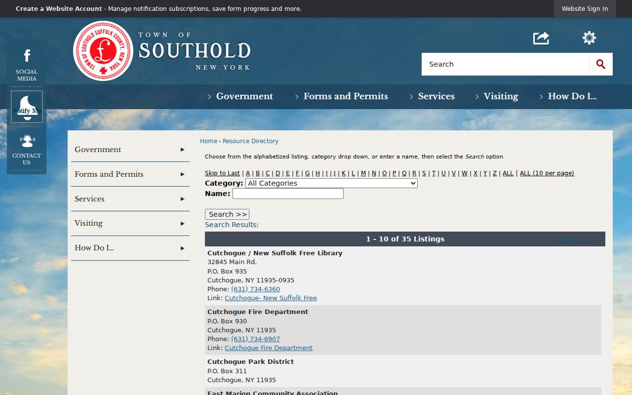
Public organization contacts can help a Southold neighbor seek local context without exposing a private membership list. Note: A name in a community announcement is not evidence of a current residential address.
Southold Neighbors Compared Carefully
Official records and commercial neighbor-lookup categories do not carry the same weight. A parcel map, assessment result, recorded deed, and election record each state what they actually document and carry a custodian, date, or access rule. Commercial tools can combine public fragments, marketing data, telephone material, and user submissions. Their matches may be stale, incomplete, or assigned to the wrong person. Use an official record to verify the narrow fact it reports.
| Record category | Strength | Limit |
|---|---|---|
| Official parcel and assessment records | Parcel-specific identifiers and current administrative fields | Owner and mailing fields do not equal a complete people list |
| Recorded land index | Dated document parties and land references | Index or deed party does not prove present personal connection |
| Election record under lawful procedure | Defined registration fields in a regulated access setting | Individual lookup and protected-address limits apply |
| Commercial neighbor tool category | May surface a lead to verify independently | Source, date, identity, and completeness can be uncertain |
Southold Neighbor Privacy Boundary
Some information about a block is deliberately not public. Household membership, utility and delivery records, DMV addresses, association rosters, protected voter addresses, and confidential court or vital material are not a Southold neighbor-search result. New York’s Address Confidentiality Program offers a substitute mailing address for eligible participants and requires agencies to protect actual addresses in covered new records. Its presence is a reason not to piece together a location from unrelated sources.
FOIL access is category-based and subject to privacy and safety exemptions. A public name in a town meeting record, civic item, or planning file should be understood only in its dated document context. It cannot prove that a person lives nearby now. Greenport village records can be separate from Town of Southold records, and a mailing label can be different from the municipal custodian.
Southold Neighbor Geography
Southold occupies most of Long Island’s North Fork and includes ten named hamlets, Fishers Island, and the incorporated Village of Greenport. Adjacent-looking places can sit across different postal, municipal, or emergency-service labels. Greenport village uses a separate record system where the record concerns the village. Fishers Island belongs to Southold but uses ZIP 06390, unlike the North Fork’s 119xx pattern. Parcel ID, physical situs, postal ZIP, and record custodian should remain separate columns in a block search.
Historic aerials and map layers can show change near a property without proving personal presence. The same caution applies to a Southold postal name on an older document. Compare the tax map, legal description, hamlet name, village boundary, and document date before assuming two nearby records concern the same jurisdiction.